


"The mission of the American Society of Highway Engineers is to provide a forum for members and partners of the highway industry to promote a safe, efficient and sustainable transportation system through education, innovation and fellowship."
"The mission of the American Society of Highway Engineers is to provide a forum for members and partners of the highway industry to promote a safe, efficient and sustainable transportation system through education, innovation and fellowship."
Recorded Technical Sessions are now available on our Conference Program Page.
Fifteen-minute sessions with quick hits in innovation.
Lincoln Way Streetscape project - transformed Downtown Massillon, Ohio into an attractive destination with significant infrastructure improvements for the safety of motorists and pedestrians, and will be a catalyst for economic growth for years to come. It is located on SR-172 (Lincoln Way) in Downtown Massillon, Ohio and is a busy commercial corridor with high pedestrian traffic and plagued by speeding accidents, resulting in safety concerns for both motorized and non-motorized travelers./p>


Jeremy is an Ohio Registered Landscape Architect with over 16 years of experience. He has integrated his passion for high quality design with the desire to enhance the environment and local communities, and to create planning and design solutions that positively impact our society. A detail-oriented and creative designer, Jeremy is an adept collaborator who works enthusiastically across disciplines to deliver visionary solutions for clients. With deep experience in streetscape design and reimagination, Jeremy combines a keen sense of what end users desire in placemaking projects with his natural ability to engage with people in order to bring their community’s long-term project vision to life
Merging multiple data sets from different data collection methods including; Hydrographic Multibeam data, Terrestrial LiDAR Surveying, UAS data acquisition, and Conventional methods. Ultimately creating a seamless mesh and one final overall data set. Cases studies to include roadway and bridge/tunnel projects.
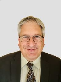
Mr. Lineberry is a licensed land surveyor in the Commonwealth of Virginia as well as an FAA licensed drone pilot and 3D Scanning expert. The majority of his experience has been for local, state, and federal government agencies. He serves as the Virginia Beach Office Manager for Precision Measurements, Inc. and oversees the Hydrographic Surveying, UAS, and 3D Scanning Divisions.
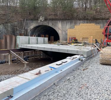
This presentation will highlight engineer-contractor-owner collaboration on the alternate design of a unique bridge replacement project inside a railroad tunnel to overcome construction challenges utilizing precast concrete, segmental bridge design and post-tensioning to facilitate site scheduling and ultimately delivering a cost-effective structure with minimal future maintenance.
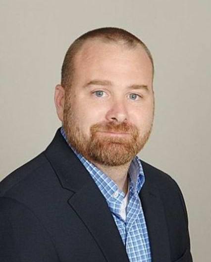
Mr. Rissler has 29 years experience and has been with Larson Design Group for 12 years, currently as Program Manager for the Bridge Unit in their Lititz, Pennsylvania, focusing on management and project oversight for bundled bridge packages, construction phase engineering and innovative project delivery. Quentin is a registered Professional Engineer in four states.